


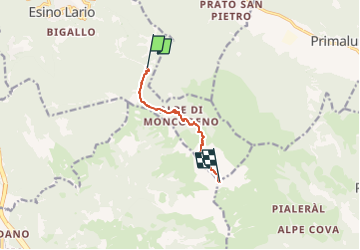

6.1 km | 14.9 km-effort


Tous les sentiers balisés d’Europe PRO


FREE GPS app for hiking
 SityTrail
IGN / Geographical institutes
SityTrail World
The world is yours!
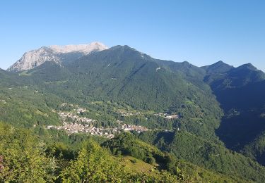
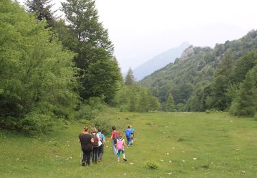
Trail On foot of 5.4 km to be discovered at Lombardy, Lecco, Esino Lario. This trail is proposed by SityTrail - itinéraires balisés pédestres.
Trail created by Club Alpino Italiano Grigne e Val d'Esino.
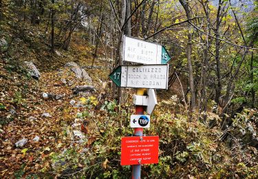
Symbol: red-white-red vertical bars, and sometimes red-white-yellow horizontal bars


On foot

On foot
On foot
On foot
On foot
On foot
On foot
On foot
On foot